LiDAR capture and existing-conditions documentation for architects, designers, and building teams in Albuquerque, Santa Fe, and New Mexico. Start renovations and adaptive reuse projects with a shared record of the building that is there today.
Record the building, interiors, and agreed accessible areas with on-site LiDAR scanning and imaging. A registered point cloud, mesh, or photoreal walkthrough can help the design team understand spatial relationships, coordinate questions, and revisit the site between visits. We plan coverage around the decisions your team needs to make.
Define the model before the scan.
Scan to BIM connects a measured record with a building model prepared for an agreed purpose. Tell us which architectural elements need to be modeled, the intended design use, required level of detail, and acceptable tolerances. Existing drawings, survey control, and a clear list of exclusions help establish the right scope before field work.
Agree on the point cloud and CAD/BIM handoff.
Site documentation can deliver registered point clouds and mesh models. Dimensioned as-built drawings and BIM/CAD modeling are additional scoped deliverables. If your team needs a Revit, IFC, or CAD workflow, share the required application, version, file formats, units, coordinate system, and model organization with the brief so we can agree on the handoff before you commission it.
Carry the existing space into the proposed design.
Use the capture as reference for renovation, fit-out, adaptive reuse, or further visualization. Our Build service can turn drawings and models into proposed interiors, presentation imagery, animation, or interactive design experiences. We agree how the existing-conditions record and the new design will be reviewed together.
Explore an existing-conditions capture
See how the rooms connect.
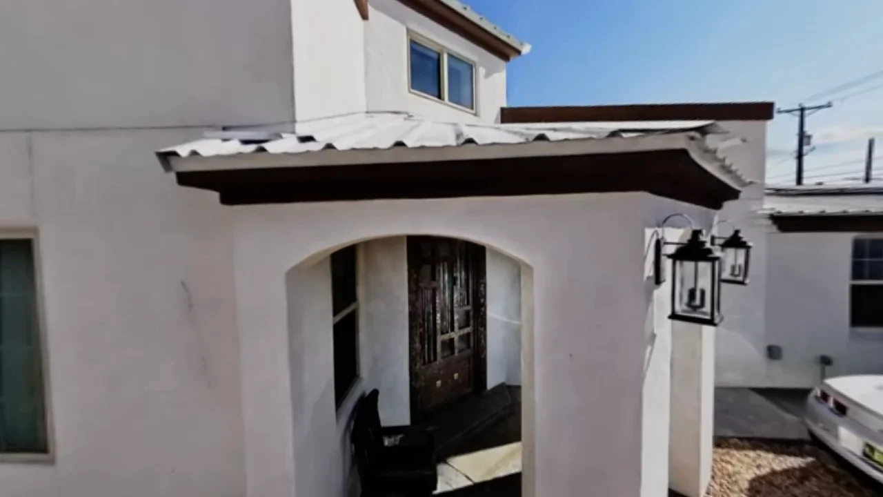
The William Street project records an existing home as a navigable spatial experience. Explore it to discuss the views and coverage your own project needs. A BIM or CAD handoff is commissioned to agreed modeling and documentation requirements.
A point cloud records sampled positions in the captured space. A BIM model represents selected building elements and information in a structured design workflow. Preparing that model, deciding which elements it contains, and reviewing it against the scan are scoped modeling work.
What accuracy can we specify?
Share your required tolerances, control requirements, and intended use before the quote. We agree a capture and review plan around those requirements, site conditions, and access. Survey-grade requirements, concealed conditions, and work outside visible coverage need an explicit scope.
Can you provide as-built plans or BIM/CAD modeling?
Dimensioned as-built drawings and BIM/CAD modeling are available as scoped additions to capture. Define the required drawings or model, level of detail, file formats, and review criteria before work begins. The pricing page separates capture packages from documentation and modeling additions.
Do you work outside Albuquerque?
We plan capture projects in Santa Fe and elsewhere in New Mexico, with Southwest travel quoted to the project. Share the building location and access schedule when requesting a proposal.
Albuquerque · Santa Fe · New Mexico
Start with the building. Define the deliverable.
Send the project location, existing information, and what the architectural team needs to model or document. We’ll scope the field work and handoff around that brief.